Neighbourhoods
Explore top areas
Neighbourhoods across Seattle, described as physical places. Each carries a distance from downtown Seattle, because “fifteen minutes away” means nothing until you know which direction.
- 01
325° · 5.5 mi
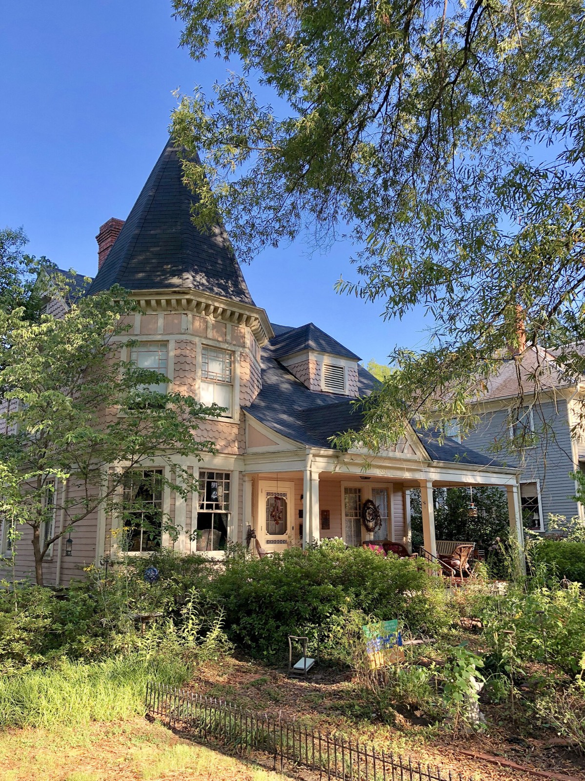
Ballard
Seattle · established 1890s · 4 sheets in the set
A former independent fishing town annexed in 1907, and it still reads that way: a brick commercial core along Ballard Avenue, a working marina, and the Hiram M. Chittenden Locks at the west end. The Sunday farmers market closes the historic street to traffic.
Watch for: Townhouse infill means a new building can go up beside you, so read the zoning on adjacent parcels. Blocks near the ship canal and the locks carry marine industrial noise. Older bungalows here frequently have unreinforced masonry chimneys and damp basements.
Read the Ballard guide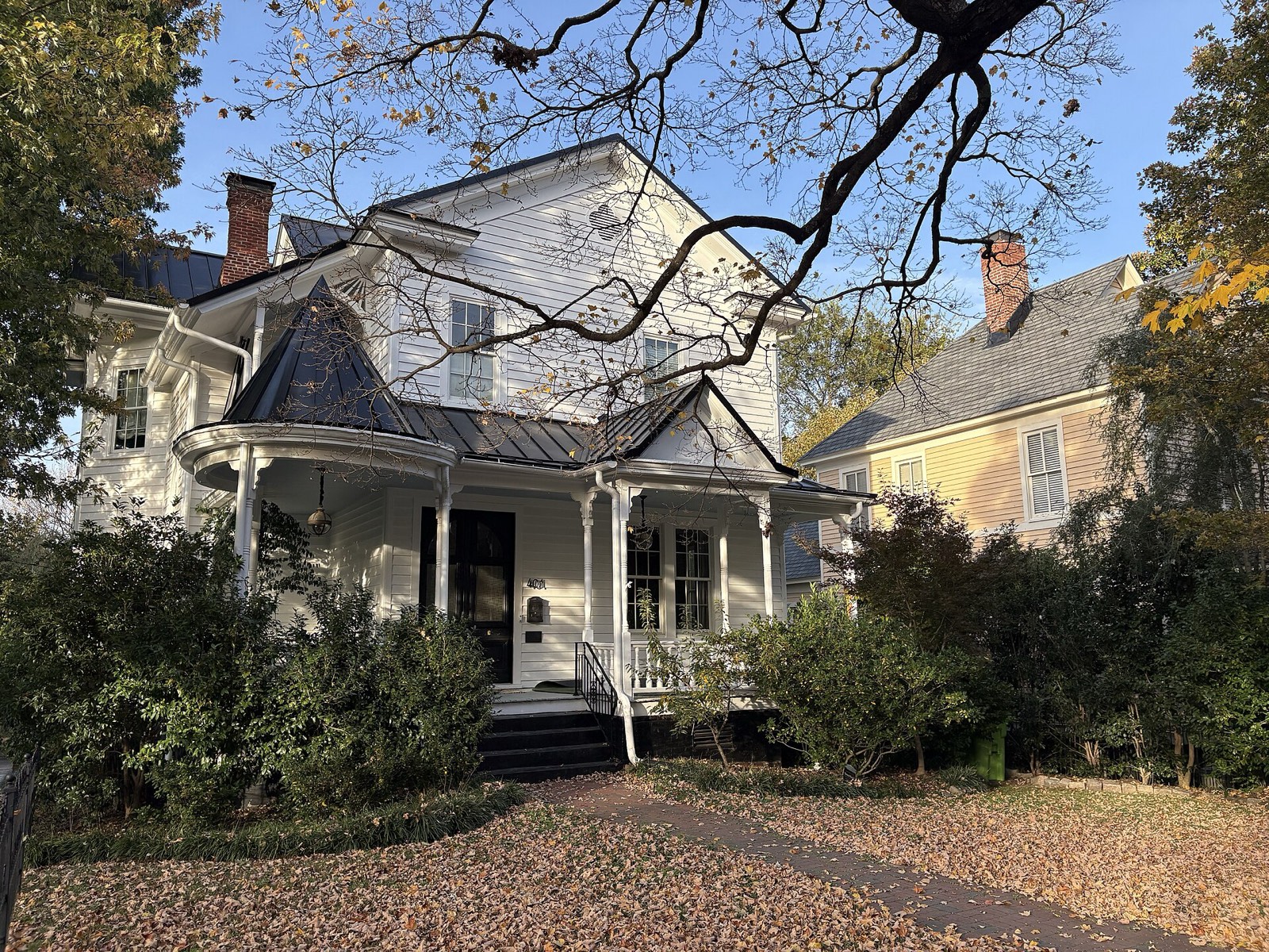
- 02
70° · 1.5 mi
Capitol Hill
Seattle · established 1900s · 3 sheets in the set
The densest residential district in the city and the one with the most street life. Broadway and Pike-Pine carry the commercial weight; a few blocks east the streets turn quiet and tree-lined, with Volunteer Park and the Olmsted-planned boulevard system at the north end.
Watch for: Street noise on and near Pike-Pine is real and constant, particularly at weekends. Many apartment buildings predate serious sound insulation. Off-street parking is often absent, and where it exists it is frequently a separate cost.
Read the Capitol Hill guide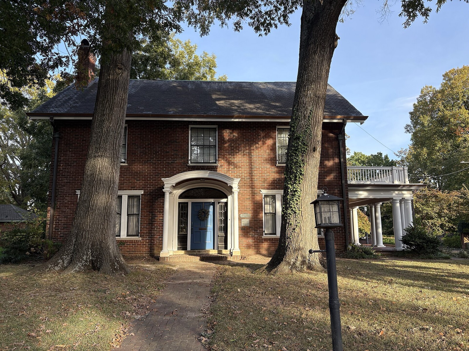
- 03
340° · 1.8 mi
Queen Anne
Seattle · established 1890s · 2 sheets in the set
A steep hill carrying the best-known view in the city, from Kerry Park on the south slope. The top of the hill has its own small commercial street on Queen Anne Avenue; the lower slopes run into Seattle Center and the theatre district.
Watch for: The grade is the whole story: driveways are steep, a few are unusable in the rare ice, and a view lot usually means a retaining wall somewhere on the property. Ask when it was last inspected. View corridors are not protected, so a neighbour's addition can take yours.
Read the Queen Anne guide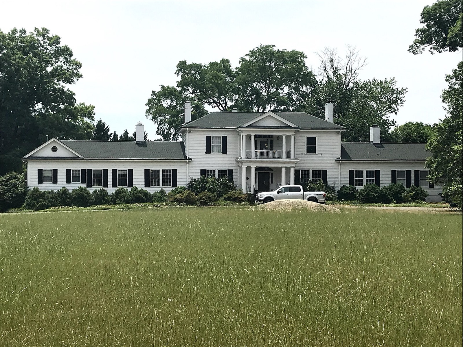
- 04
350° · 4.0 mi
Fremont
Seattle · established 1880s · 4 sheets in the set
Self-declared Centre of the Universe, and it maintains the joke with public art: the Fremont Troll under the Aurora Bridge, a rocket on the corner of Evanston. The ship canal frontage now carries a substantial cluster of technology offices.
Watch for: The office cluster has changed traffic and parking pressure on the streets nearest the canal. Low blocks near the water sit in the flood-prone zone, so pull the map before committing to a daylight basement.
Read the Fremont guide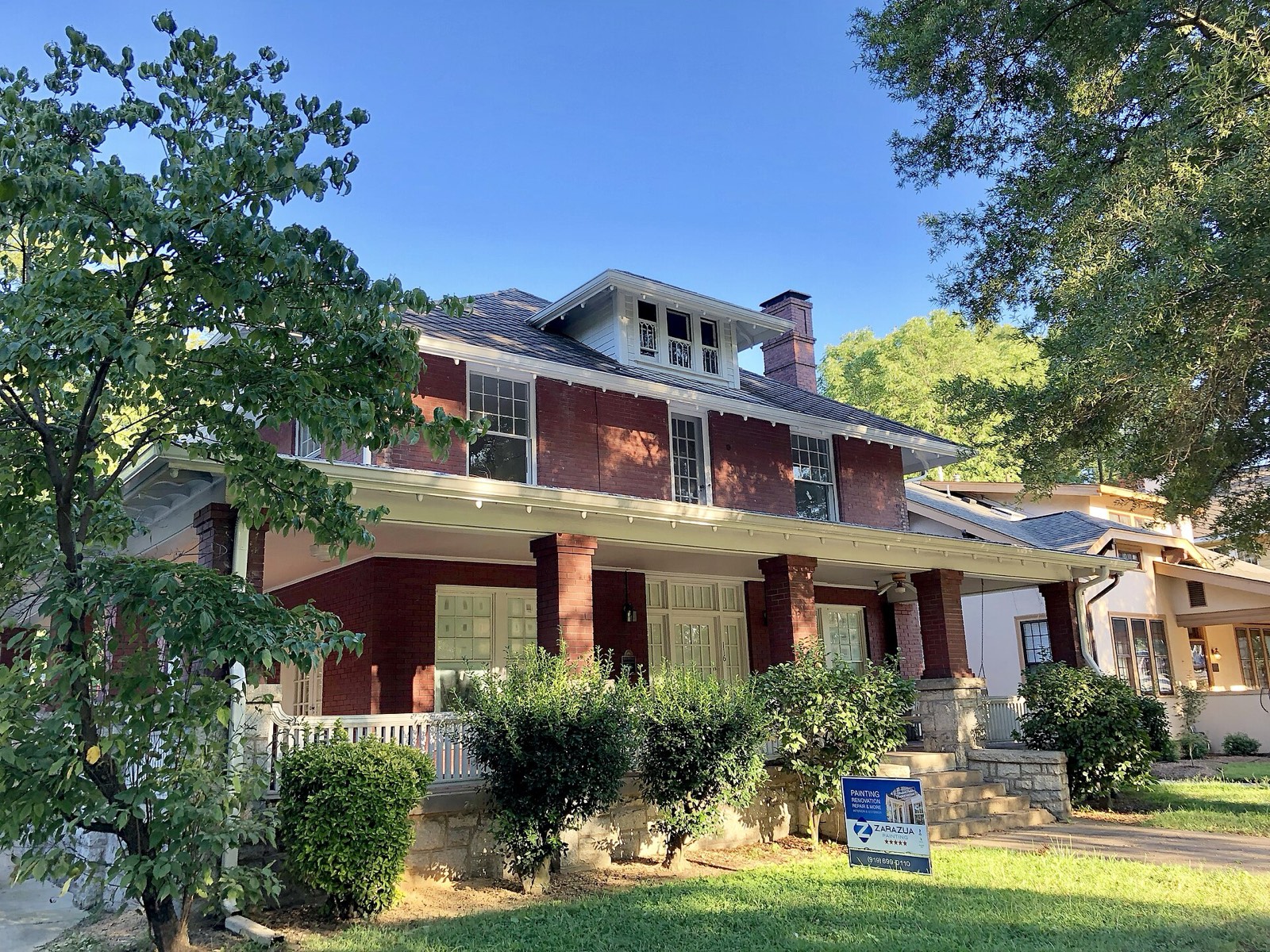
- 05
215° · 6.0 mi
West Seattle
Seattle · established 1900s · 2 sheets in the set
Across the Duwamish and genuinely separate in feel. Alki Beach carries two and a half miles of Puget Sound shoreline with the downtown skyline directly across the water; the Admiral and Alaska Junction districts are the two commercial centres.
Watch for: Bridge dependency is the risk that defines this market. Much of the western slope sits in a mapped landslide-prone area, so a geotechnical report is not optional on a hillside lot. Waterfront carries its own insurance and erosion questions.
Read the West Seattle guide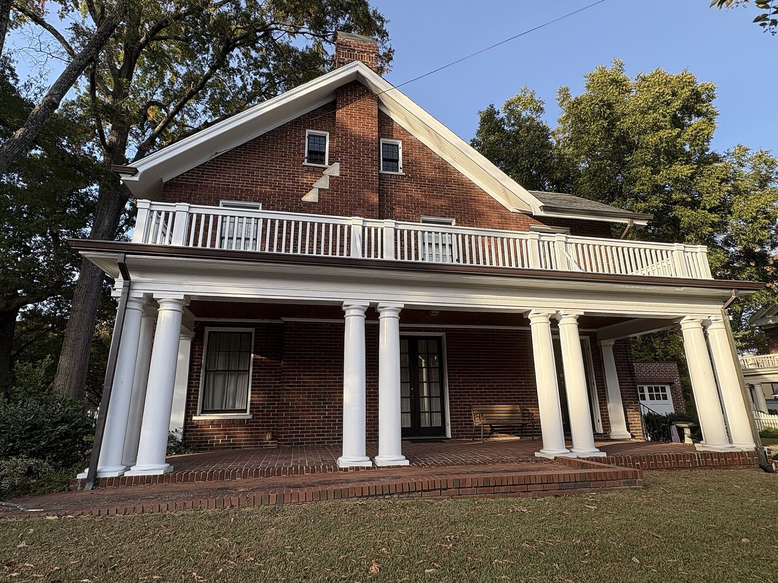
- 06
165° · 6.0 mi
Columbia City
Seattle · established 1890s · 2 sheets in the set
A designated landmark district in the Rainier Valley, with an intact 1890s to 1920s commercial street of two and three storey brick buildings around Rainier Avenue South and South Ferdinand. A cinema, a library and a farmers market sit within two blocks of each other.
Watch for: Blocks close to Rainier Avenue South carry the traffic noise and the safety record of that corridor. Landmark status inside the commercial district constrains exterior work, worth confirming before planning a change. Flight paths from Boeing Field cross parts of the valley.
Read the Columbia City guide